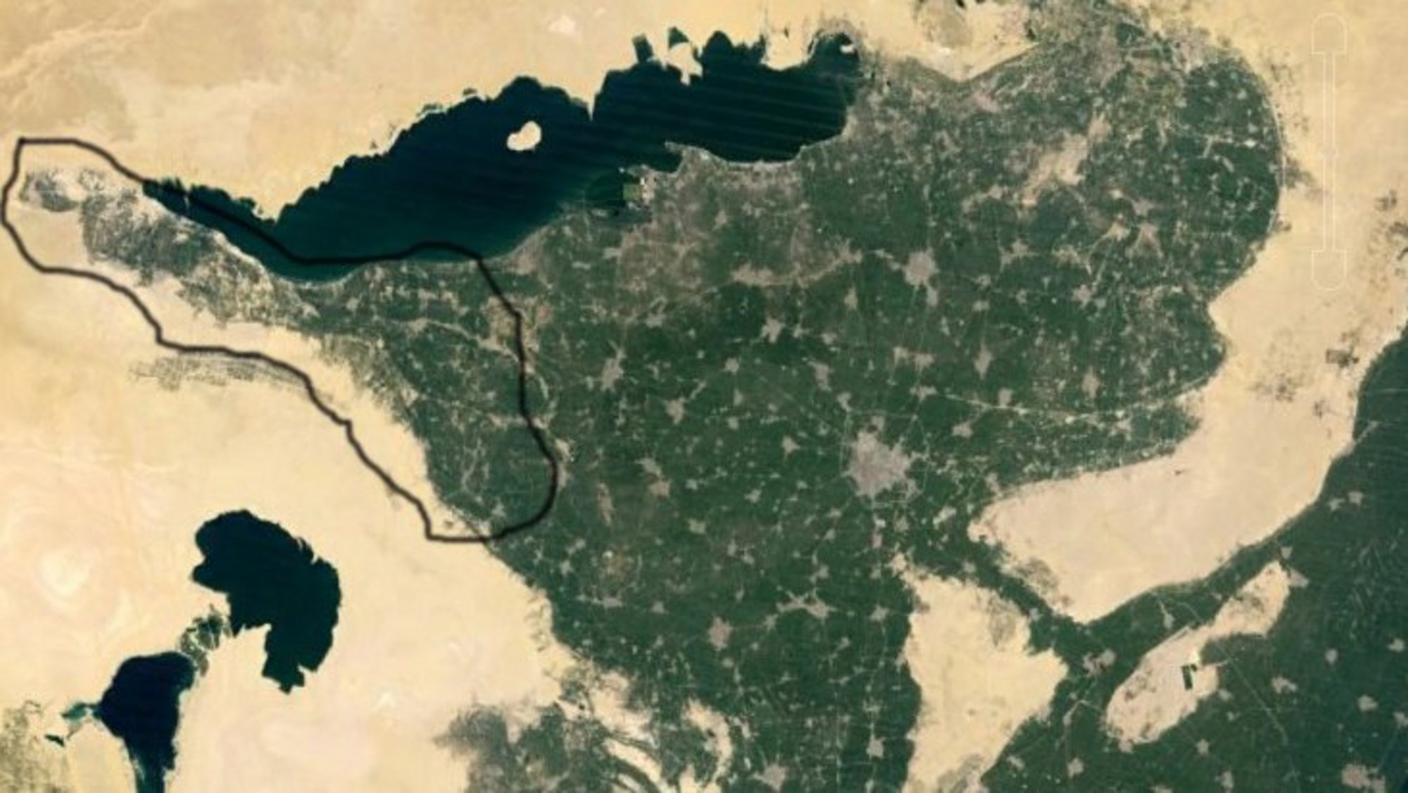
Overview
The archaeological survey was undertaken in the north-western region of the Fayum, mainly focussing on the recording of archaeological remains of sites where papyri were discovered around the year 1900. At that time, the surrounding area of the respective find spots was of little interest to the discoverers (different from what the Americans did ca. 20 years later in Karanis; see Project I). However, the remains of temples, baths, and houses belong to the history of these places just as much as the written sources. Texts and archaeological remains complement each other and produce a lively picture of the past only when brought together.

