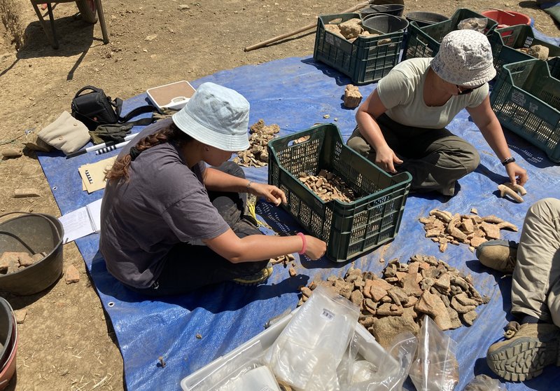
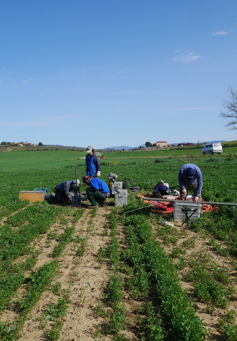
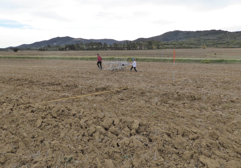
Research
Die Prile-Lagune
In ancient times, Tuscany's coastline was characterised by numerous bays and lagoons. One of the largest of these stretched across what is now the Grosseto plain, between the ancient Etruscan settlements of Vetulonia and Roselle. This lagoon is referred to as 'Lacus Prilius' in Roman sources from the 1st century BC, such as Cicero's Pro Milone (XXVII, 74). Known later as Lago di Castiglione, Lake Prile essentially existed until the 19th century, as can be seen on historical maps from the 16th to the end of the 18th century.
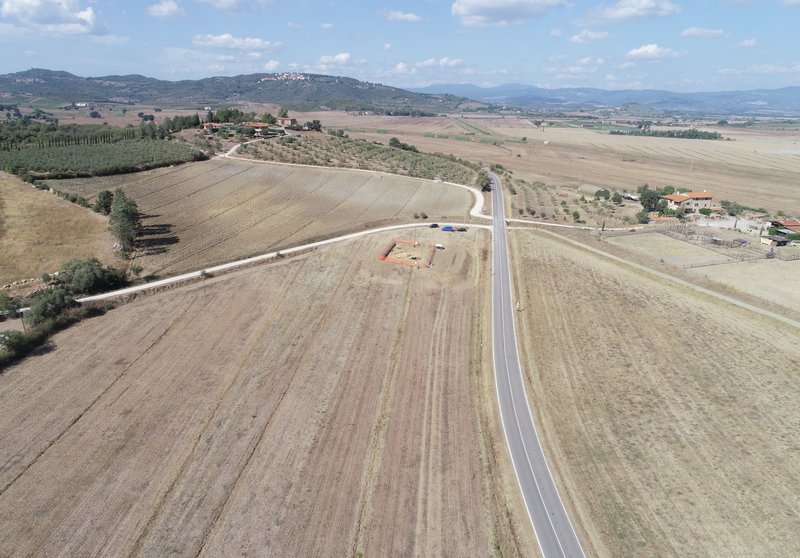
Previous geoarchaeological studies have assumed that, until the beginning of the 1st millennium BC, the Grosseto plain was characterised by a deep, extensive bay. This bay was navigable and connected directly to the sea. However, during the Etruscan period, two phenomena gradually caused Lake Prile to silt up: a tombolo (a strip of dunes) formed on the western edge of the bay, gradually closing off access to the sea, and the Ombrone River flowed into the southern part of the bay. The sediment carried by this large river caused its estuary to shift towards the sea, resulting in the rapid silting up of the southern half of the bay. Since the 17th century, there have been attempts to drain Lake Prile, which had become a swamp. However, this was not achieved until shortly before World War II, when the area was finally drained and the rivers were canalised.
However, it is unclear exactly how quickly the northern part of Lake Prile silted up where the much smaller River Bruna flowed into it. The location of the port or ports of the Etruscan city of Vetulonia is also unknown. As an important Etruscan centre, it must have had one or more landing stages and ports, most likely on the northern shore of the lagoon. Thanks to trade in raw materials from the neighbouring Colline Metallifere mountain region, connected to Lake Prile via the Bruna river valley, the city had achieved remarkable prosperity by the 8th and 7th centuries BC. Vetulonia's leading role as a trading centre in northern Etruria is evidenced by numerous imports from across the Mediterranean and Central Europe that were deposited as grave goods. Products characteristic of Vetulonia's bronze production have also been discovered in other Etruscan centres, northern Italy and Central Europe.