Workshop “QGIS: Introduction to Geographic Information System”

Workshop QGIS: Introduction to Geographic Information System © DAI Kairo // Bassem Ezzat
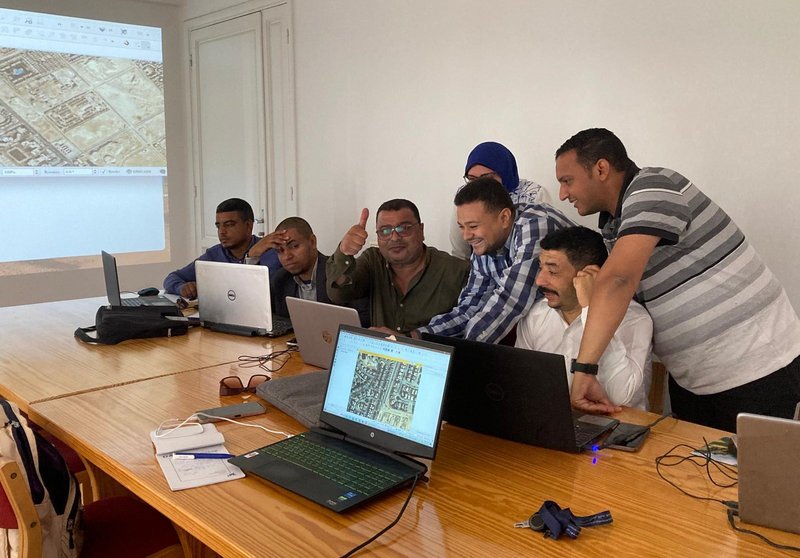
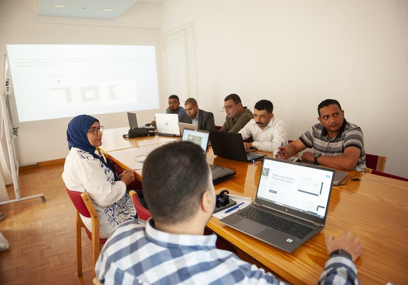
Two weeks ago, the German Archaeological Institute Cairo hosted a hands-on workshop with colleagues from the Egyptian Ministry of Tourism and Antiquities, building on their experience with Geographic Information Systems (GIS) using the open-source software QGIS. Participants dove into the fundamentals of GIS and explored key procedures for managing spatial data:
Vector and raster data, Map reference systems , Georeferencing historical maps and satellite images from Google Earth , Vector drawing , Printing layouts.
Special attention was given to datasets and commonly used GIS formats.
While the workshop focused on QGIS, the skills acquired can be applied to many other GIS applications, bridging theory and practical spatial analysis.
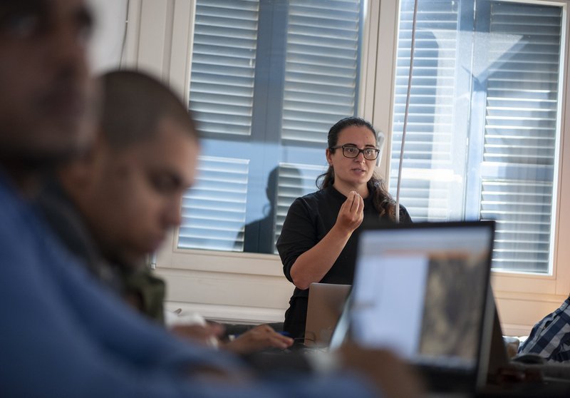
Thank you to all participants for their enthusiasm and curiosity! Our special thanks also go to Amelia Zullo (University of Pisa) for conducting the workshop and guiding participants through the fundamentals of GIS, expanding our perspectives within the world of spatial analysis and digital mapping.
This workshop was realized with the generous support of the Federal Foreign Office of Germany.