Overview
Over a thousand years ago, Polynesian seafarers settled the island that later became internationally renowned as the UNESCO World Heritage Site Rapa Nui. One of the greatest challenges faced during the successful colonization of the island was the extreme scarcity of freshwater. In contrast to most volcanic islands in Polynesia, Rapa Nui lacks permanent rivers or streams, making accessible drinking water a precious resource. The same applies to the island's fertile soils. After the original palm forest largely gave way to crop cultivation, the Rapanui people were confronted with significant erosion and loss of soils. Consequently, an elaborate system of resource management emerged, incorporating technological, societal, and spiritual components.
While past research on Rapa Nui predominantly focused on the iconic Moai statues and ceremonial platforms, excavations conducted by the DAI at the Ava Ranga Uka A Toroke Hau site prioritize the island's adaptation to its geographical, climatic, and ecological challenges. The interdisciplinary scientific investigations are carried out in collaboration with Rapanui experts, the indigenous government Ma'u Henua, and the Universidad de Playa Ancha in Valparaiso, Chile.
The documentation of these unique findings using state-of-the-art technology significantly contributes to cultural preservation on the island.
Excavations at the Ava Ranga Uka A Toroke Hau Site in the Center of Rapa Nui (Easter Island, Chile)
The research conducted by the German Archaeological Institute (DAI) at the Ava Ranga Uka A Toroke Hau site, abbreviated as ARUTH, in the center of Easter Island began in 2008. The investigations encompassed not only archaeological excavations but also related scientific disciplines such as geomorphology, palaeobotany, climate history, and geomatics. It is particularly important to incorporate the perspectives of local experts into the scientific work. Traditional knowledge, local myths, legends, and toponymy are integral components of our work on Rapa Nui.
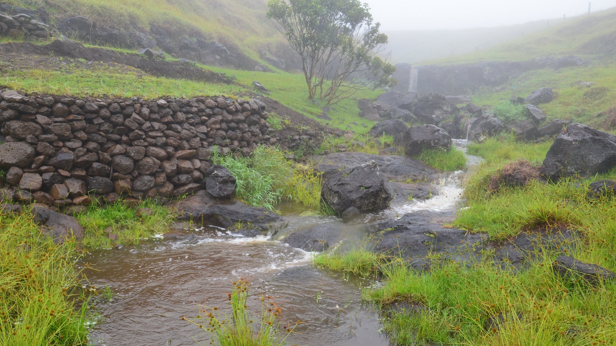
The site is unique in many respects, situated in an expansion in the bed of the island's only seasonal stream. Part of the installations is the ceremonial platform Ahu Hanuanua Mea (Rainbow Ahu) with a reclining Moai, the furthest inland Ahu on the island. The name of the Ahu already illustrates a special significance of water. The existence of a ceremonial platform indicates that the site was once under the control of the elites.
The architecture of ARUTH is primarily hydraulic in nature, featuring megalithic water basins alternating with stone-lined channels and aqueducts, some of which ran underground. Massive embankment fortifications and extensive paved areas protect against erosion; colluvium was deliberately used as a base for horticulture, and stone mulching safeguards against the loss of soils.
Offering deposits, petroglyphs, and the Ahu are testament to the religious nature of the site.

